The Equal Earth Projection and the Correction of a Colonial Gaze
Sep 10, 2026
Save
By Mahder Nesibu
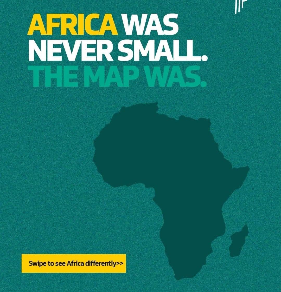
For centuries, the standard cartographic image of the world has rendered Africa, Latin America, and the Indian subcontinent smaller than their true scale. The instrument responsible is the Mercator projection, a map first published in 1569 and still the most familiar rendering of the world on classroom walls, atlases, and digital platforms. On this projection, Africa appears roughly equivalent in size to Greenland. The reality is that Africa is close to fourteen times larger. The continent covers approximately 30.37 million square kilometres, an area large enough to contain the United States, China, India, Japan, and most of Europe within its outline, with space remaining. Africa is the second largest continent on Earth, and the gap between its visual footprint on a Mercator map and its actual landmass is one of the most persistent distortions in modern geography.
Recommended News
Military Attachés Based in Addis Ababa Highlight Ethiopia’s Role in Horn of Africa Stability
Somalia Sets 2027 Election Dates Amid Political Dispute
Burundi President Calls for Sustainable Agriculture to Strengthen Food Security
That distortion is now the subject of a formal international correction. On 4 September, the United Nations General Assembly adopted the "Correct the Map" resolution, encouraging governments, schools, and technology companies to use the Equal Earth projection when representing the relative size of the world's continents. The resolution passed by a vote of 164 to one, with six abstentions. It was sponsored by Togo on behalf of the African Group and co-sponsored by the Bahamas. Equal Earth, designed in 2018 by cartographers Bojan Šavrič, Tom Patterson, and Bernhard Jenny, preserves the relative area of every region on the map while retaining curved edges that suggest the sphere the earth actually is.
The African Union took up this cause last year, and the case made by its leadership has been direct. Speaking to Reuters, the AU Commission's deputy chairperson, Selma Malika Haddadi, said, "It might seem to be just a map, but in reality, it is not." She argued that the Mercator projection fosters a perception of Africa as marginal, a perception at odds with a continent home to over 1.4 billion people across fifty-four states, and one that filters into media coverage, education systems, and policy assumptions about where Africa sits in the world.
Togo led the diplomatic push at the United Nations, and its foreign minister, Robert Dussey, gave the campaign its clearest language. Ahead of the vote he told Reuters, "A fair world begins with a fair map." At the General Assembly, he was quoted saying, "Maps shape our understanding of the world." He has also described a map as a technical tool that functions equally as "an instrument [of] knowledge and representation, that shapes how people and continents perceive themselves." After the resolution passed, he summarised its purpose plainly. "A fair map does not change the geography of the world, it changes how we see the world."
Although the Mercator projection had technical roots, its role in diminishing the place of Africa is apparent. Gerardus Mercator, a Flemish cartographer, published the map in 1569 as a navigational aid, rendering rhumb lines, paths of constant compass bearing, as straight segments that let sailors plot a course with a ruler rather than continuous recalculation. In doing so, it compressed landmasses in and around the equator relative to those nearer the poles, a distortion with little consequence for its original nautical use, yet one that hardened into the default representation of the world as the map moved from ship's chart to general reference material and school atlases through the eighteenth and nineteenth centuries, the same period in which European states were mapping Africa for administrative and territorial control. What began as a technical solution for navigators became the standard picture of the world for the greater part of humanity, one that misrepresented the true proportions of Africa, Latin America, and South Asia for generations.
That convergence sits at the centre of what scholars describe as the colonial gaze in cartography. A chapter published by the University of London Press, titled "Mapping as tacit representations of the colonial gaze," traces how the very construct of a divided Africa, split along colonial rather than cultural or ecological lines, became embedded in cartographic convention through this period. The chapter draws on Edward Said's account of a singular, external viewpoint claiming authority over how a place and its people are understood and represented. Applied to mapping, the same logic held. European cartography during the height of colonial expansion organised the world according to a Eurocentric vantage point, and the visual diminishment of Africa on the Mercator projection sat alongside the political and administrative frameworks that divided the continent among colonial powers.
An accurate projection restores something beyond a figure on a scale bar. It allows the sheer diversity of the continent, fifty-four countries, thousands of languages, and distinct regional histories, to register on the same visual terms as its size. The Nigerian writer Dipo Faloyin addressed this directly in his book Africa Is Not a Country, written to confront a habit common in the United States and the United Kingdom of speaking of Africa as though it were a single undifferentiated place, "devoid of nuance." Faloyin's argument and the cartographic correction now underway point toward the same underlying problem. A map that compresses Africa into the visual footprint of Greenland and a public conversation that speaks of Africa as one country are two expressions of the same flattening, one drawn in projection lines and the other in language. Correcting the map addresses the first, and in doing so gives the second argument, that Africa is a continent of scale and internal variety rather than a single story, a clearer visual foundation to stand on.
Correcting the map addresses one part of this picture. The other part rests with how Africans themselves understand and project their own continent. The AU's campaign and Togo's diplomacy reflect a claim that representation begins from within, that the vision Africans hold of Africa's scale, diversity, and place in the world carries as much weight as any external correction. A projection that finally shows the continent at its true size gives that internal vision a cartographic foundation, and positions Africa's centrality, rather than its marginality, as the starting point for how the world reads the continent going forward.
Ultimately, cartography has never been an exercise in pure geometry; it is an act of translation, transforming physical reality into a symbolic spatial narrative. The Mercator projection did not simply distort landmasses; it codified a worldview that quietly positioned the Global South on the margins of human importance. By treating a navigational shortcut as an absolute truth, generations grew accustomed to a visual vocabulary that diminished the physical and historical presence of entire continents. To alter the lines of a map is therefore not merely a technical adjustment, but an intentional rewriting of that narrative—an act of reclaiming space in the global imagination.
This transition from the Mercator to the Equal Earth projection underscores a crucial truth: it is not the map itself that governs reality, but the symbolic weight we assign to its expression. A map does not passively describe the world; it actively instructs us on how to value it. When the UN General Assembly votes to adopt a mathematically faithful projection, it marks a shift in cartographic authority. It signals a move away from an inherited colonial gaze that shrank the equator to inflate the poles, toward a shared visual language grounded in structural fairness and proportion.
In the end, replacing a map cannot erase history, but it changes the baseline of visual truth for future generations. As Africa’s true physical scale takes its rightful place in classrooms, policy halls, and digital interfaces, the symbol aligns at last with the reality. The adoption of the Equal Earth projection ensures that the continent is no longer misread through a lens of visual diminishment, establishing a new cartographic foundation where scale, complexity, and self-determination form the starting point of how the world sees Africa—and how Africa sees itself.